37.77 Acres Near Pender, NE | Productive Dryland Cropland
- $425,000


- $425,000
Description
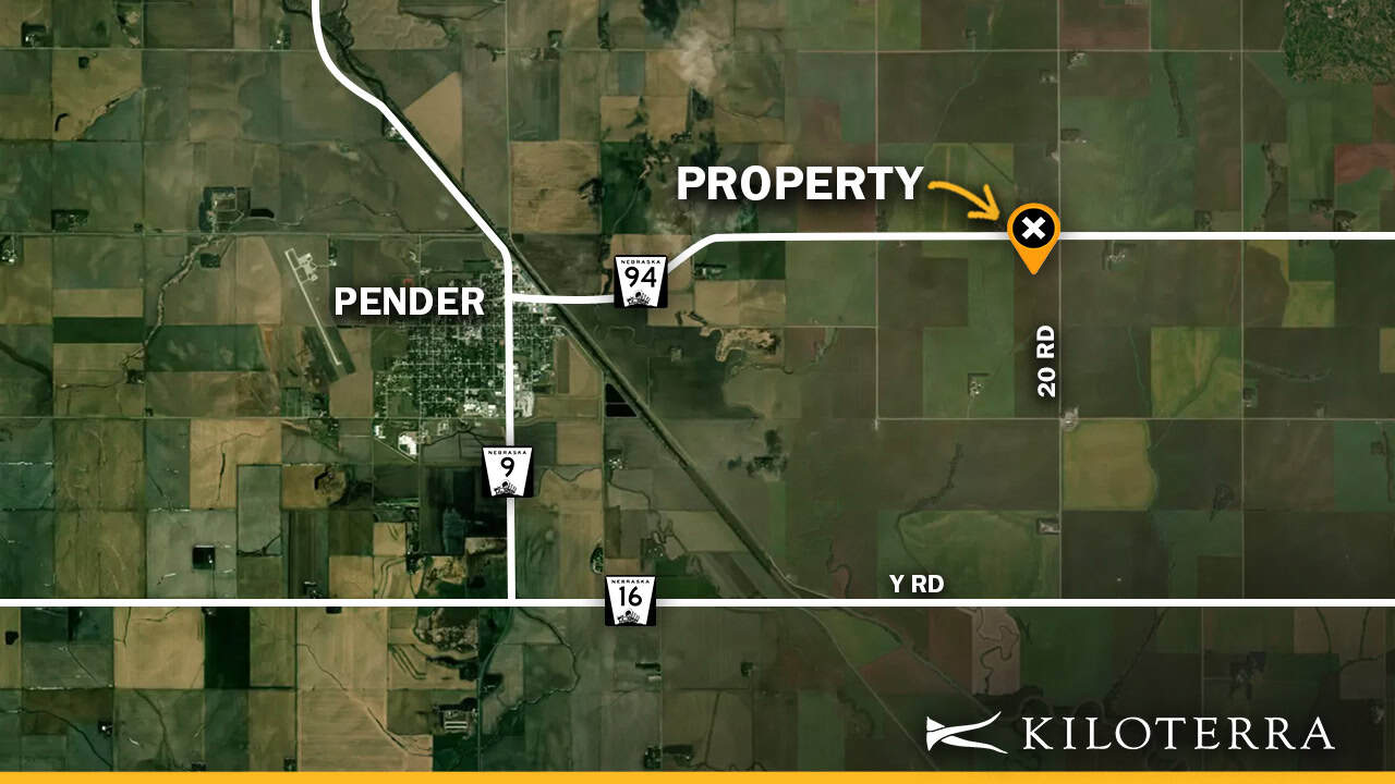
Thurston County, Nebraska | Approximately 2.5 Miles East of Pender | Highway 94 & 20 Road
Property Overview
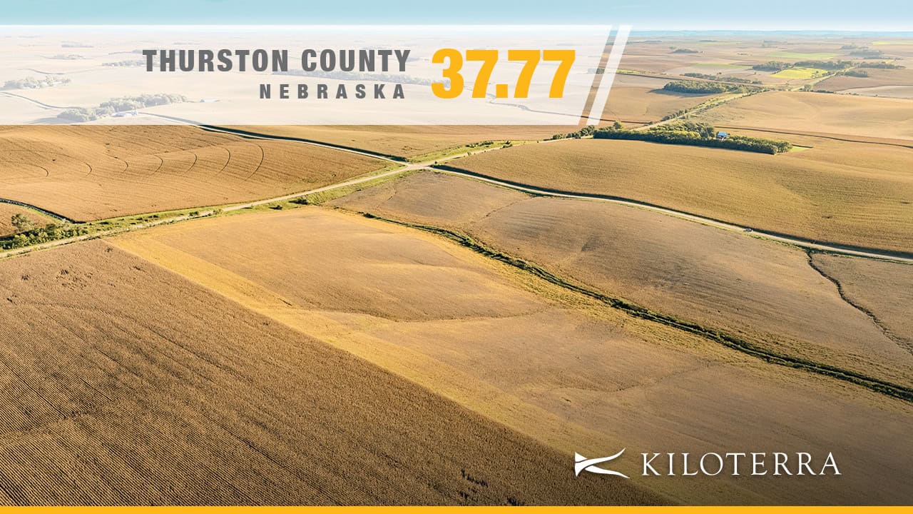
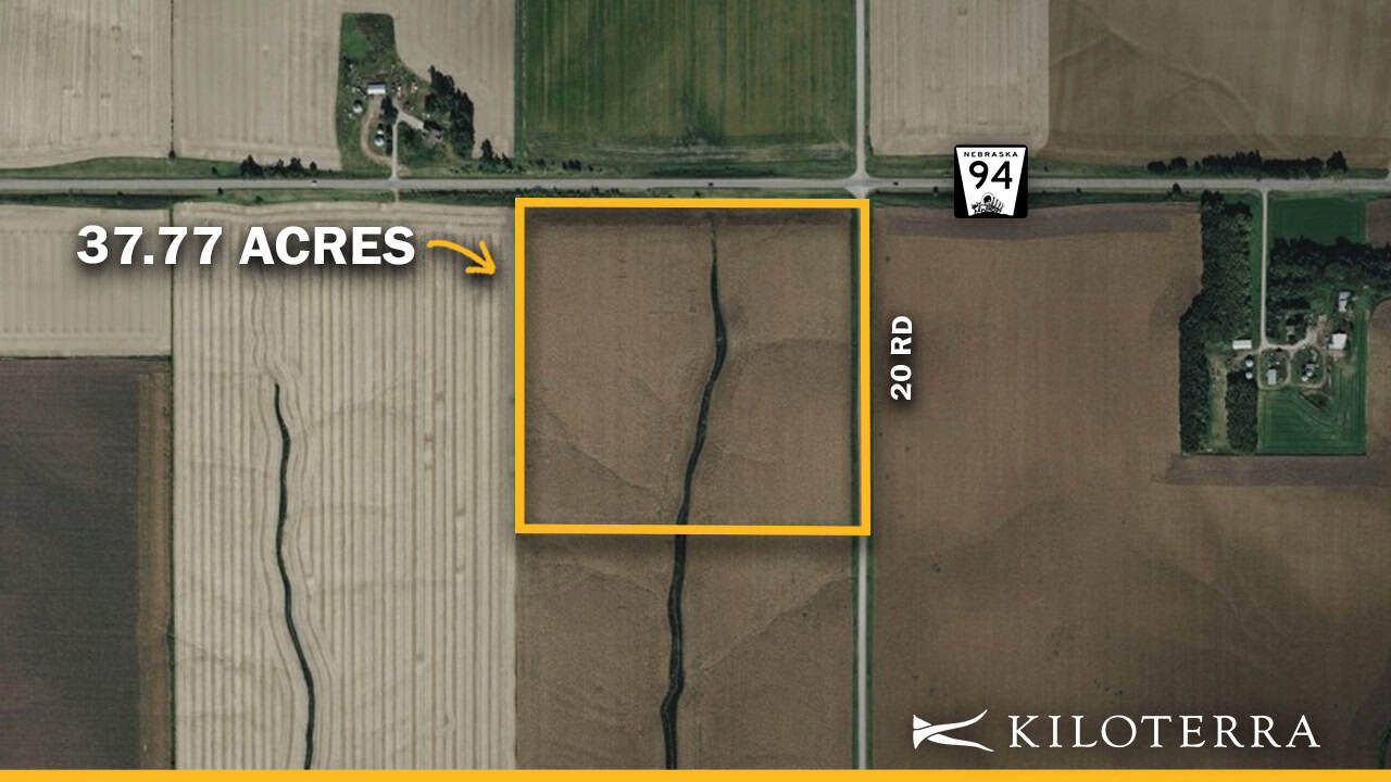
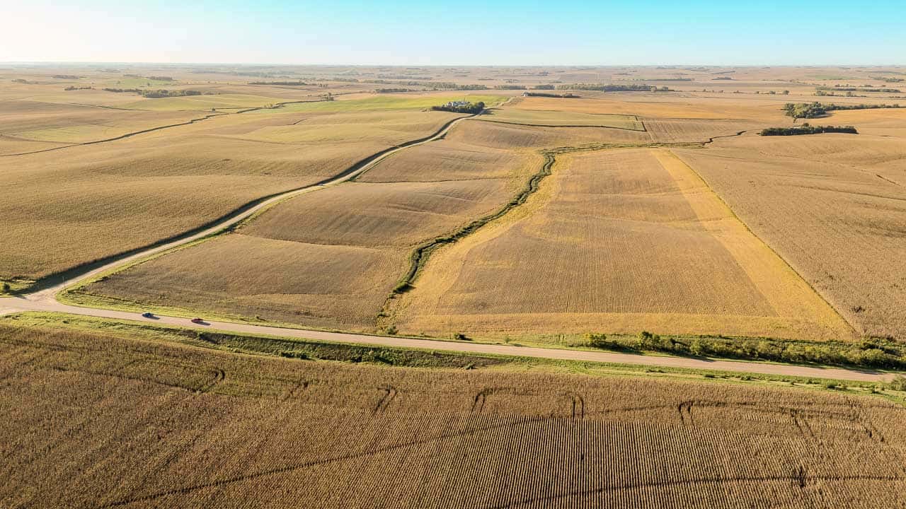
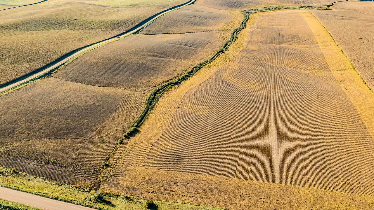
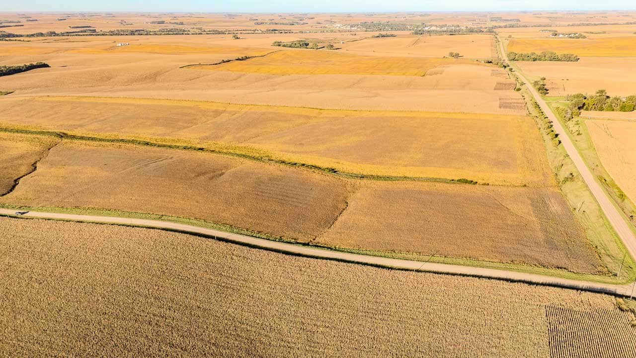
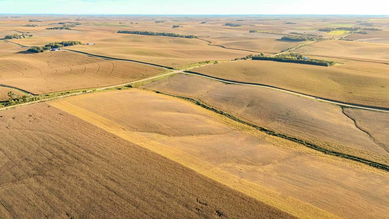
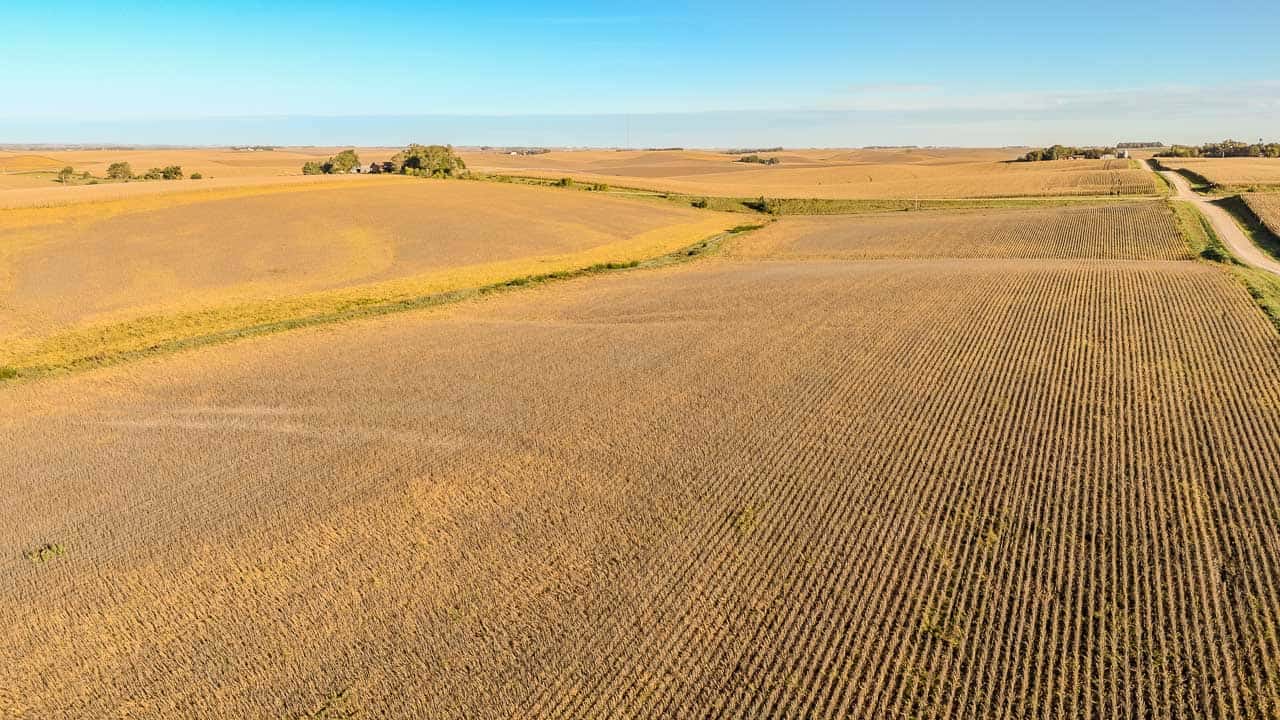
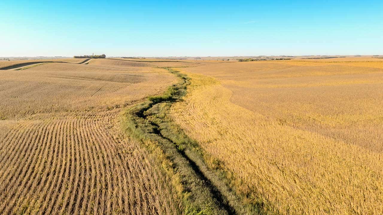
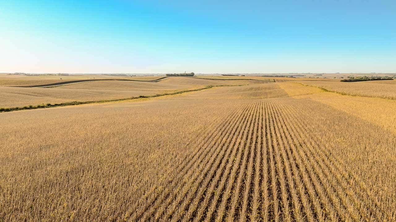
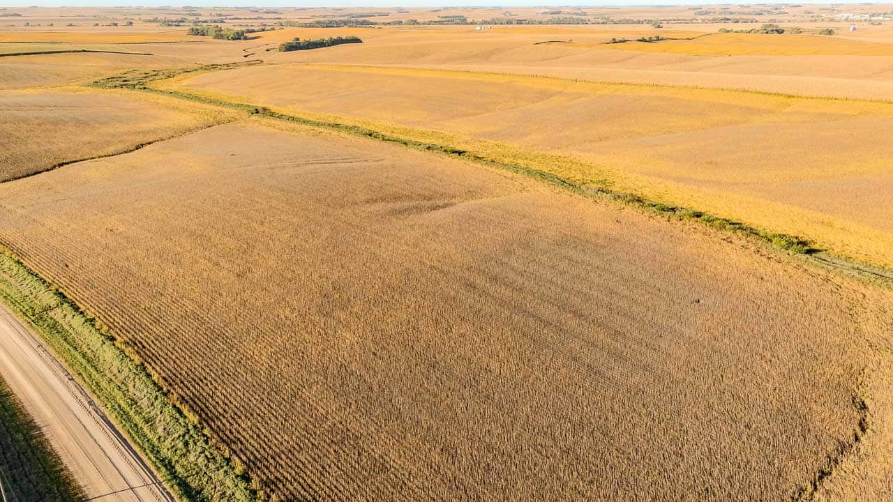
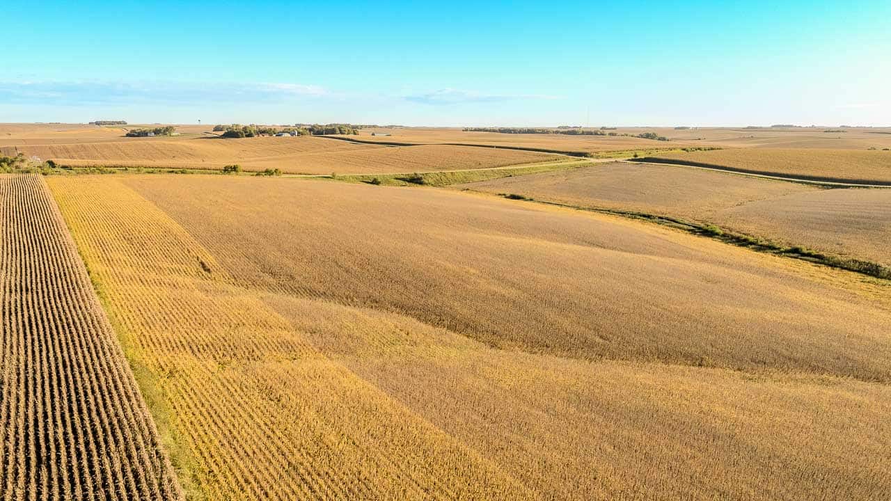
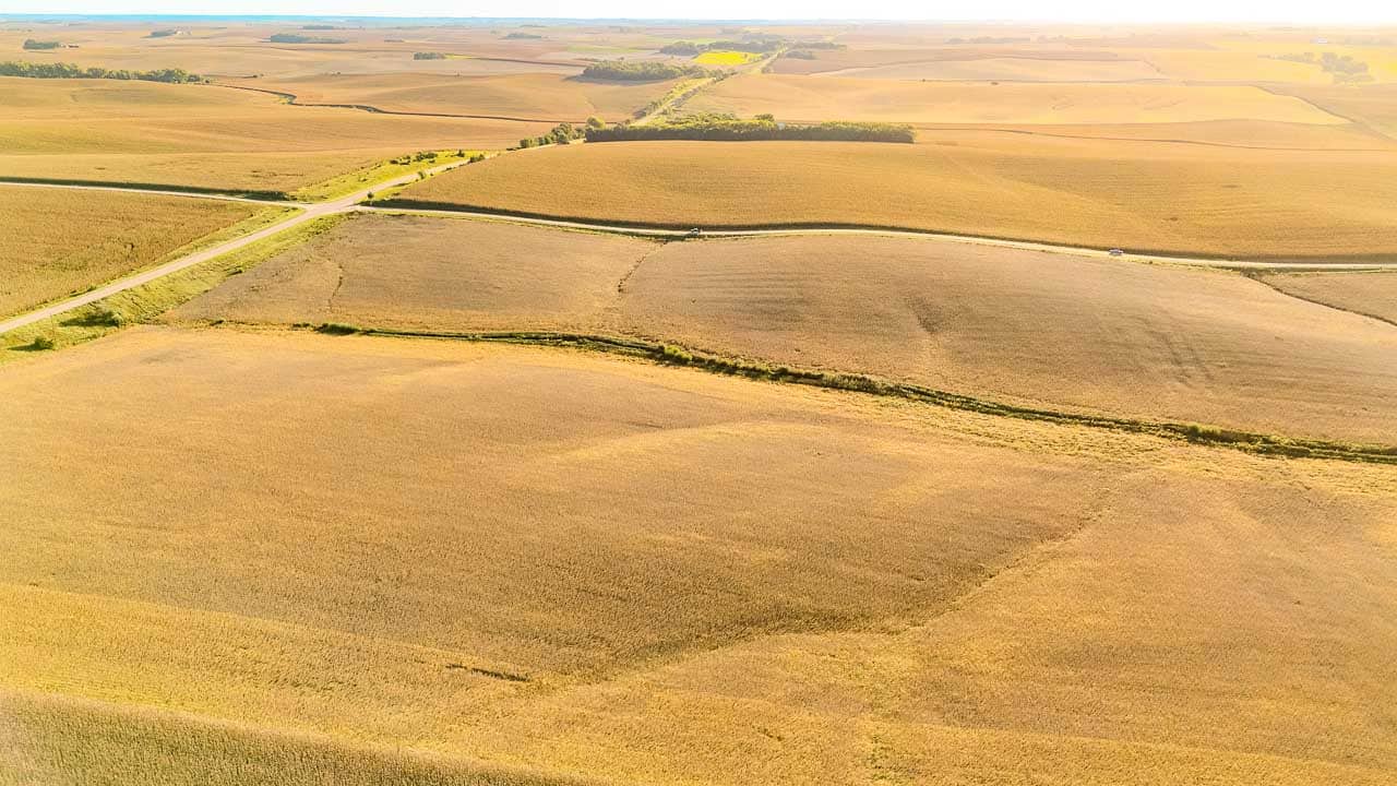
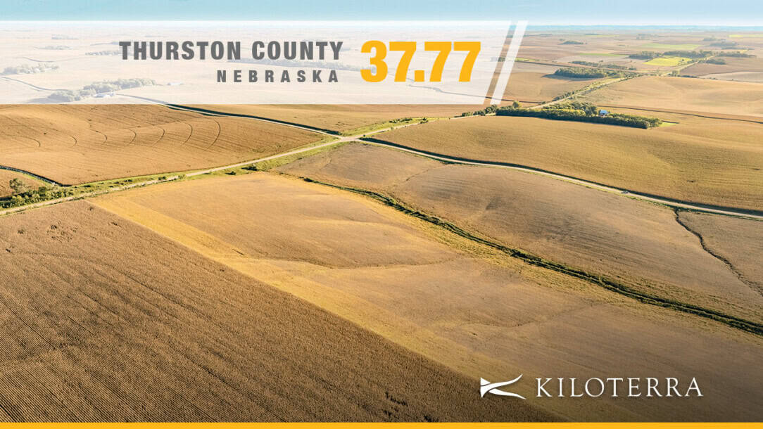
Located approximately 2.5 miles east of Pender, this 37.77± assessed-acre tract offers productive dryland soils, nearly all cropland and frontage along Highway 94 and 20 Road.
Land ID mapping estimates 37.58± acres of dry cropland with an average mapped NCCPI of 67.61. Its manageable size makes it a practical addition for neighboring landowners and area operators, or an opportunity for buyers seeking a smaller agricultural investment.
Property Highlights:
- 37.77± assessed acres
- 37.58± estimated dry cropland acres
- Average mapped NCCPI of 67.61
- Predominantly Moody and Alcester silty clay loam soils
- Frontage along Highway 94 and 20 Road
- Approximately 2.5 miles east of Pender
- Owner reports open possession for the 2027 crop year
- Pender School District
- 2025 real estate taxes of $1,822.90
- Offered at $425,000
Dry Cropland & Soils
Moody silty clay loam with 6–11% slopes accounts for approximately 56% of the mapped soils, while Alcester silty clay loam with 2–6% slopes makes up another 29%. Together, these two soil types comprise approximately 85% of the mapped property. The tract carries an average mapped NCCPI of 67.61.
Location & Access
The property is located approximately 2.5 miles east of Pender, Nebraska, with frontage along Highway 94 and 20 Road. Its proximity to town and frontage along both roads provide a convenient location for area operators and landowners.
Property Records & Terms
- Parcel Number: 002200016
- Assessed Acres: 37.77±
- Location: Section 30, Township 25 North, Range 7 East of the 6th P.M., Thurston County, Nebraska
- 2025 Real Estate Taxes: $1,822.90
- School District: Pender
- Lease: Verbal lease
- Possession: Owner reports open possession for the 2027 crop year
- Asking Price: $425,000
Assessed acreage is based on county records. Cropland acreage and soil information are based on available Land ID mapping, and cropland acreage is approximate. The exact legal description will be confirmed by deed and title evidence.
Directions: From Pender, NE go east on highway 94 for 2.75 miles and turn south onto Road 20.
Property Documents
Mapping
Overview
Mortgage Calculator
-
Down Payment
-
Loan Amount
-
Monthly Mortgage Payment
-
Property Tax
Contact Information
View ListingsSimilar Listings
61± Acres with Historic Dairy Barn, Spring-Fed Creeks & Building Site – Newton County, Missouri
- $535,000


40-Acre Country Property with Home, Heated Shop & Recreational Appeal in Hardin County Iowa
- $785,000